
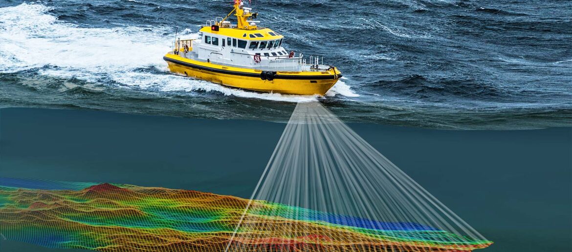
Hydrographic Survey
Accurate hydrographic surveying is essential for safe navigation, marine construction, dredging, offshore operations, and coastal development. Using advanced sonar, GPS, and surveying technology, we deliver reliable underwater mapping, depth measurements, and seabed data to support informed decision-making and successful project execution.
Why Choose Us
We combine advanced hydrographic technology with experienced professionals to deliver accurate, reliable, and timely survey solutions for marine and coastal projects.